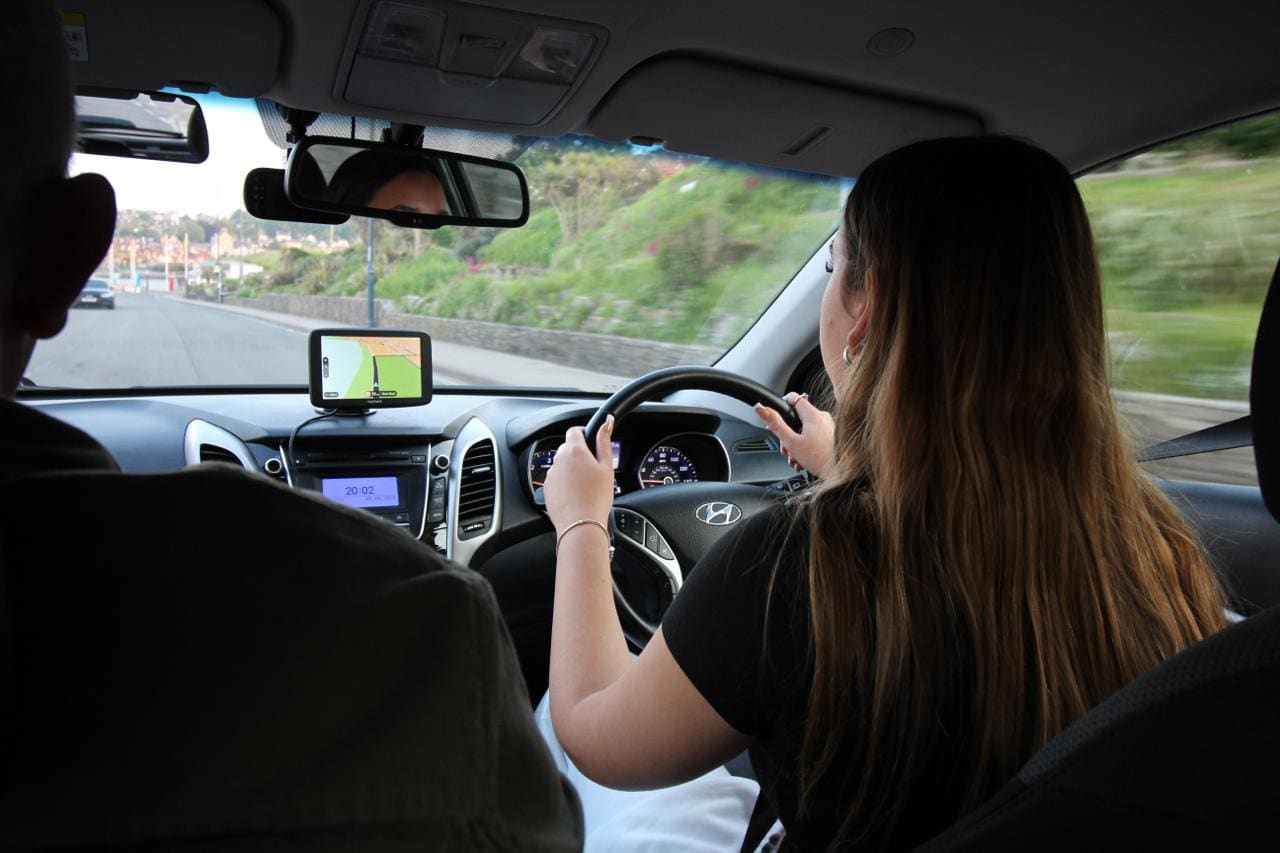
Baiter sits on the harbour side of the Old Town. It’s mapped as Harbourside Park, open parkland along the water, with a car park off Labrador Drive and Catalina Drive. Those two streets loop quietly through the small estate behind the park at 20mph, and you won’t see much traffic through there. That’s good ground for an early lesson. You can give clutch control and steering your full attention instead of watching for other cars. There’s space nearby for manoeuvres too, once you’re ready for them.
From Baiter it’s a short drive into the Old Town, where the streets narrow and several run one-way. Market Street is one-way, and so is the stretch of the High Street down near the Quay. The upper half of the High Street, the shopping end, is pedestrianised and closed to cars altogether. Parts of the Quay are one-way too, so a wrong turn means finding the loop back round. Reversing isn’t really an option on streets this narrow. Thames Street, Church Street and Lagland Street stay two-way and narrow, with cars parked on both sides, so you learn to read oncoming traffic in a tight gap. It’s slower, tighter driving than the Civic Centre one-way system over in Newtown, where the roads are wider and the traffic’s heavier.
Two lifting bridges cross the water from the edge of the Old Town to Hamworthy. Poole Bridge, the older of the two, dates from 1927 and lifts to a published timetable several times a day, with extra lifts to let commercial boats through. The newer Twin Sails Bridge, opened in 2012, lifts for larger vessels too. When either bridge is up, the barrier comes down and traffic waits. The only way round is the other bridge. So driving here means checking for a queue before you commit to a route, and knowing that a short crossing can sometimes take a good deal longer than it looks.
Beyond the bridges, West Street and West Quay Road meet at the Hunger Hill roundabout, a busy signalled junction where the Old Town’s quiet streets give way to fast, multi-lane traffic. Towngate Bridge carries you over the railway into the town centre, and Holes Bay Road, a dual carriageway running at 30 to 40mph, heads north past the Asda superstore on West Quay Road. It’s a sharp change of pace from the Quay. Judging gaps and holding your line at that speed is something the Old Town’s narrow streets can’t teach you, so this is where you get the practice in.
East of Baiter, Whitecliff Road runs along Parkstone Bay past Whitecliff Recreation Ground to its junction with Sandbanks Road. It carries a 20 to 30mph limit and is quieter than Holes Bay Road, with the harbour on one side for much of its length. Poole Park lies just to the north, and its roads are open to cars at 20mph, a slow loop shared with pedestrians and cyclists, with the miniature railway running alongside. Together, Whitecliff Road and the park bring the pace back down after Holes Bay Road, and it’s a good stretch to settle into after the faster roads.
Holes Bay Road and the way to the test centre
Holes Bay Road is one of the eight areas that come up again and again on Poole’s actual test routes, alongside places like the Mannings Heath roundabout and the Civic Centre one-way system (the Poole test routes guide covers the full list of eight and what examiners watch for at each). Getting used to the lane discipline and pace of a dual carriageway so close to the Old Town means you already know that stretch when test day comes round.
From the Quay, it’s about 10 minutes by road to the Poole test centre on Harwell Road, and much of that drive follows the same Holes Bay Road corridor.